Predicting where a dissolved contaminant goes after it enters groundwater is not guesswork — it's a solvable engineering problem requiring source concentration, aquifer velocity, and dispersivity values across 3 spatial dimensions. Use this Contaminant Plume Dispersion Calculator to calculate concentration at any downgradient point, plume width, travel time, and source strength using Gaussian dispersion principles. Environmental engineers, hydrogeologists, and remediation specialists rely on this approach for leaking storage tank investigations, landfill leachate assessments, and municipal water supply protection. This page includes the governing equations, a fully worked example, dispersion theory, and a practical FAQ.
What is contaminant plume dispersion?
Contaminant plume dispersion is the process by which a dissolved pollutant spreads through groundwater as it moves away from its source. The plume fans out in three directions — along the flow path and laterally in both horizontal and vertical planes — so concentrations drop with distance from the centerline.
Simple Explanation
Think of dropping a drop of ink into a slow-moving stream. The ink travels with the current but also spreads sideways and up-and-down as it goes, becoming more diluted the further it gets from the source. Contaminant plume dispersion works the same way underground — a spill at one point gradually spreads through the aquifer, and this calculator tells you how concentrated it will be at any location downstream.
📐 Browse all 1000+ Interactive Calculators
Table of Contents
Dispersion Diagram

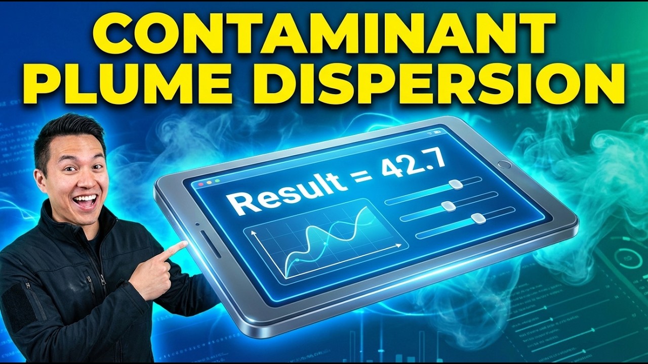
Interactive Calculator
How to Use This Calculator
- Select your calculation mode from the dropdown — concentration at a point, plume width, travel time, source strength, or dispersivity estimate.
- Enter the source concentration, distances (x, y, z), seepage velocity, and dispersivity values for the fields shown for your selected mode.
- Adjust longitudinal, transverse, and vertical dispersivity values to match your site data or use the Estimate Dispersivity mode if no tracer test data is available.
- Click Calculate to see your result.
📹 Video Walkthrough — How to Use This Calculator
Contaminant Plume Dispersion Interactive Visualizer
Watch how dissolved contaminants spread through groundwater in three dimensions. Adjust source strength, aquifer properties, and observation point to see real-time concentration calculations using Gaussian dispersion theory.
CONCENTRATION
357 mg/L
TRAVEL TIME
200 days
PLUME WIDTH
28 m
FIRGELLI Automations — Interactive Engineering Calculators
Governing Equations
Use the formula below to calculate contaminant concentration at any 3D point in a groundwater plume.
Three-Dimensional Gaussian Plume Model
C(x,y,z) = C0 · exp[−y²/(2σy²)] · exp[−z²/(2σz²)]
Where:
C(x,y,z) = contaminant concentration at point (x,y,z) (mg/L or μg/L)
C0 = source concentration at origin (mg/L or μg/L)
x = downgradient distance from source (m)
y = lateral distance from plume centerline (m)
z = vertical distance from plume centerline (m)
σy = standard deviation of lateral spreading (m)
σz = standard deviation of vertical spreading (m)
Dispersion Standard Deviations
σy = √(2Dyx/v)
σz = √(2Dzx/v)
Where:
Dy = transverse hydrodynamic dispersion coefficient (m²/day)
Dz = vertical hydrodynamic dispersion coefficient (m²/day)
v = seepage velocity (average linear groundwater velocity) (m/day)
Hydrodynamic Dispersion Coefficients
Dx = αL · v
Dy = αT · v
Dz = αV · v
Where:
αL = longitudinal dispersivity (m)
αT = transverse horizontal dispersivity (m), typically αL/10
αV = vertical dispersivity (m), typically αL/100
Contaminant Travel Time
t = x/v
Where:
t = travel time for contaminant front to reach distance x (days)
Peclet Number (Advection-Dispersion Ratio)
Pe = vx/Dx = x/αL
Where:
Pe = Peclet number (dimensionless)
Pe > 10 indicates advection-dominated transport
Pe < 1 indicates dispersion-dominated transport
Simple Example
A source releases a contaminant at C₀ = 500 mg/L into a sand aquifer. Seepage velocity v = 0.5 m/day, longitudinal dispersivity αL = 10 m, transverse αT = 1 m, vertical αV = 0.1 m. At a point 100 m downgradient, 5 m laterally offset, and 1 m vertically offset:
- Dy = 1 × 0.5 = 0.5 m²/day; σy = √(2 × 0.5 × 100 / 0.5) = 14.14 m
- Dz = 0.1 × 0.5 = 0.05 m²/day; σz = √(2 × 0.05 × 100 / 0.5) = 4.47 m
- C = 500 × exp(−25/400) × exp(−1/40) = 500 × 0.939 × 0.975 ≈ 457 mg/L
- Travel time to 100 m: t = 100 / 0.5 = 200 days
Theory & Engineering Applications
Contaminant plume dispersion modeling represents one of the most critical quantitative tools in subsurface environmental engineering. When hazardous substances enter groundwater systems through leaking underground storage tanks, industrial spills, landfill leachate, or agricultural runoff, understanding their three-dimensional migration patterns becomes essential for protecting water supplies, designing remediation systems, and establishing regulatory compliance monitoring networks.
The Gaussian plume model, while simplified compared to full numerical advection-dispersion-reaction simulators, provides remarkably accurate predictions for dissolved-phase contamination under conditions of steady-state flow, homogeneous porous media, and conservative (non-reactive) tracers.
Fundamental Transport Mechanisms
Groundwater contaminant transport occurs through three primary mechanisms operating simultaneously. Advection represents bulk movement of dissolved chemicals with flowing groundwater at the seepage velocity, determined by hydraulic gradient, hydraulic conductivity, and effective porosity according to Darcy's Law. Mechanical dispersion arises from velocity variations at multiple scales: microscopic variations around individual grains, macroscopic variations through different pore pathways (tortuosity), and field-scale heterogeneities in aquifer properties. Molecular diffusion, driven by concentration gradients, typically contributes minimally compared to mechanical dispersion at field scales but can dominate in very low-permeability materials or stagnant zones.
The hydrodynamic dispersion coefficient combines mechanical dispersion and molecular diffusion. In practice, mechanical dispersion dominates at typical groundwater velocities, making the dispersivity-velocity relationship (D = αv) reasonable. Dispersivity exhibits profound scale-dependency—a non-obvious phenomenon that frustrates many practitioners. Laboratory-measured dispersivities typically range from millimeters to centimeters, while field-scale values range from meters to tens of meters for the same aquifer material. This scale effect reflects the increasing influence of geological heterogeneity at larger distances. The Gelhar relationship (αL ≈ 0.1×travel distance) provides rough estimates, but site-specific tracer tests remain essential for critical applications.
The Gaussian Plume Solution
The three-dimensional analytical solution assumes an instantaneous or continuous point source in an infinite homogeneous aquifer with uniform flow. The resulting concentration distribution follows a Gaussian (normal) profile in lateral and vertical directions, with maximum concentration along the plume centerline (y=0, z=0). This elegant solution emerges from solving the advection-dispersion equation under simplifying assumptions, providing computational efficiency impossible with full numerical models.
Critical limitations practitioners must recognize: the model assumes no degradation (conservative transport), no sorption onto aquifer materials, no density effects, steady-state flow conditions, and homogeneous geology. Real plumes exhibit irregular shapes reflecting aquifer heterogeneity, preferential pathways through high-permeability zones, biodegradation reducing concentrations, and sorption retarding migration rates. Despite these limitations, the Gaussian model excels at screening-level assessments, establishing monitoring well locations, and bounding worst-case scenarios where conservative assumptions err on the protective side.
Dispersivity Anisotropy and Ratio Conventions
Longitudinal dispersivity (αL) always exceeds transverse dispersivities because flow-parallel heterogeneities create greater spreading along the flow direction than perpendicular to it. Standard practice assumes αT ≈ αL/10 and αV ≈ αL/100, reflecting the typically stronger horizontal stratification than vertical layering in sedimentary aquifers. These ratios represent approximations—actual values depend on specific geological structures. Glacial outwash aquifers with strong vertical heterogeneity might exhibit αV ≈ αL/10, while fractured rock systems violate all these assumptions entirely.
Fully Worked Engineering Example
An industrial facility discovers trichloroethylene (TCE) contamination at 1,250 μg/L in a monitoring well located directly beneath a degreasing operation. Groundwater flows southeast at 0.35 m/day through a sand and gravel aquifer. A municipal water supply well lies 125 meters downgradient along the centerline but 8 meters laterally offset and 3.5 meters below the contamination source elevation. Site investigation provides dispersivity estimates: αL = 12.5 m (based on 0.1×distance rule), αT = 1.25 m, αV = 0.125 m. Calculate the predicted TCE concentration at the supply well and determine if it exceeds the EPA maximum contaminant level of 5 μg/L.
Step 1: Calculate hydrodynamic dispersion coefficients
Dx = αL × v = 12.5 m × 0.35 m/day = 4.375 m²/day
Dy = αT × v = 1.25 m × 0.35 m/day = 0.4375 m²/day
Dz = αV × v = 0.125 m × 0.35 m/day = 0.04375 m²/day
Step 2: Calculate standard deviations of plume spreading
σy = √(2Dyx/v) = √(2 × 0.4375 × 125 / 0.35) = √(312.5) = 17.68 m
σz = √(2Dzx/v) = √(2 × 0.04375 × 125 / 0.35) = √(31.25) = 5.59 m
Step 3: Calculate exponential attenuation factors
Lateral attenuation: exp[−y²/(2σy²)] = exp[−(8)²/(2×17.68²)] = exp[−64/625.2] = exp[−0.1024] = 0.9027
Vertical attenuation: exp[−z²/(2σz²)] = exp[−(3.5)²/(2×5.59²)] = exp[−12.25/62.45] = exp[−0.1961] = 0.8219
Step 4: Calculate concentration at supply well
C = C0 × lateral factor × vertical factor
C = 1,250 μg/L × 0.9027 × 0.8219 = 927.4 μg/L
Step 5: Calculate travel time to supply well
t = x/v = 125 m / 0.35 m/day = 357.1 days ≈ 0.98 years
Step 6: Calculate Peclet number (transport regime assessment)
Pe = x/αL = 125 m / 12.5 m = 10.0
Interpretation: The predicted concentration of 927.4 μg/L at the municipal supply well location vastly exceeds the EPA MCL of 5 μg/L by a factor of 185. The Peclet number of 10 indicates advection-dominated transport, meaning the plume will arrive relatively intact without excessive spreading. Travel time of approximately one year provides limited time for remediation implementation. This conservative analysis (assuming no degradation or sorption) establishes the need for immediate source removal, groundwater extraction barriers, or supply well closure while treatment options are evaluated.
This example demonstrates practical application: field-measured source concentration, realistic aquifer properties, regulatory comparison, and time-critical decision support. Engineers would next investigate biodegradation potential (TCE can undergo reductive dechlorination), sorption effects (TCE exhibits modest sorption to organic carbon), and detailed aquifer characterization to refine predictions.
Engineering Decision Support Applications
Plume modeling supports monitoring network design by identifying locations where concentrations exceed detection limits, ensuring wells capture plume edges rather than wasting resources on non-detect locations. Remediation system design uses concentration predictions to size pump-and-treat systems, position extraction wells, or establish hydraulic containment zones. Risk assessment modeling predicts exposure point concentrations for human health evaluation. Regulatory compliance depends on demonstrating plumes remain within property boundaries or achieve concentration reductions before reaching receptors.
A sophisticated application involves back-calculating source strength from downgradient observations—the inverse problem. If monitoring data shows specific concentrations at known locations, engineers can estimate the original spill magnitude or leakage rate, critical for liability assessment and historical reconstruction. This requires careful accounting of all attenuation mechanisms and uncertainty quantification given measurement errors and spatial variability.
For additional engineering calculation tools supporting environmental analysis and system design, visit the complete calculator library featuring specialized resources across multiple disciplines.
Practical Applications
Scenario: Municipal Water Supply Protection
Jennifer, a hydrogeologist for a county health department, investigates a gasoline spill from a service station located 200 meters upgradient from the town's primary aquifer supply well. Soil borings reveal benzene at 850 μg/L in shallow groundwater directly beneath the underground storage tank. Using regional aquifer data (seepage velocity 0.42 m/day, dispersivity estimates based on aquifer testing), she calculates benzene concentrations would reach only 12 μg/L at the well location due to dispersion over the travel distance, slightly above the 5 μg/L MCL. However, the model shows contamination would arrive in approximately 1.3 years, providing adequate time to implement source removal and install a groundwater extraction barrier. The quantitative prediction allows the county to prioritize emergency response funding, establish a quarterly monitoring schedule at intermediate wells, and justify the expense of soil excavation before the plume threatens the water supply. This proactive intervention, guided by dispersion modeling, prevents a community water crisis.
Scenario: Industrial Site Remediation Optimization
Marcus, a remediation engineer designing a pump-and-treat system for a former manufacturing facility, uses plume dispersion calculations to optimize extraction well placement. Historical records document chlorinated solvent releases 15 years ago with peak soil concentrations suggesting groundwater source strength around 3,200 μg/L perchloroethylene. His multi-mode calculations determine the plume has spread to approximately 45 meters lateral width and 8 meters vertical thickness at the 150-meter compliance boundary. By calculating concentration contours at multiple cross-sections, Marcus positions three extraction wells to capture 95% of contaminant mass flux, avoiding the expense of additional wells that would yield diminishing returns. The model predicts extracted groundwater concentrations between 180-620 μg/L across the well field, allowing proper sizing of granular activated carbon treatment capacity. His analysis saves the client $340,000 in unnecessary wells and oversized treatment systems while achieving regulatory cleanup standards.
Scenario: Agricultural Nitrate Impact Assessment
Dr. Chen, an environmental consultant assessing nitrate impacts from fertilizer application on a 500-acre farm, establishes that soil leachate contains 85 mg/L nitrate—well above the 10 mg/L drinking water standard. Three domestic wells serve neighboring properties 300-400 meters downgradient. Using conservative transport assumptions (no denitrification), she calculates centerline concentrations would reach 71 mg/L at the nearest well based on measured groundwater velocities of 0.18 m/day and regional dispersivity relationships. However, lateral offset calculations show the actual well locations experience concentrations of 23-38 mg/L due to transverse spreading. Her report recommends immediate best management practices reducing fertilizer application rates, quarterly monitoring of the domestic wells, and potential point-of-use treatment if concentrations trend upward. The quantitative analysis transforms a contentious neighbor dispute into a cooperative monitoring program with clear triggers for corrective action, demonstrating how dispersion modeling facilitates science-based environmental management.
Frequently Asked Questions
What is the difference between seepage velocity and Darcy velocity, and which should I use for plume calculations? +
How do I determine appropriate dispersivity values for my site when no tracer test data exists? +
When are Gaussian plume models inappropriate, and what alternatives should I consider? +
How does biodegradation affect actual plume behavior, and can I account for it with simple corrections? +
What sampling strategies best validate plume dispersion model predictions in the field? +
How do I handle source zones of finite size rather than idealized point sources? +
Free Engineering Calculators
Explore our complete library of free engineering and physics calculators.
Browse All Calculators →🔗 Explore More Free Engineering Calculators
About the Author
Robbie Dickson — Chief Engineer & Founder, FIRGELLI Automations
Robbie Dickson brings over two decades of engineering expertise to FIRGELLI Automations. With a distinguished career at Rolls-Royce, BMW, and Ford, he has deep expertise in mechanical systems, actuator technology, and precision engineering.
Need to implement these calculations?
Explore the precision-engineered motion control solutions used by top engineers.


